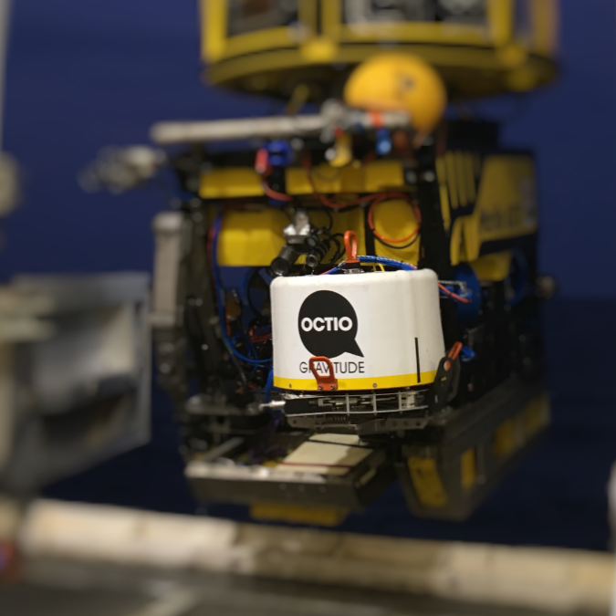
gWatch

4D gravity at the seafloor

Oil and gas production leads to changes in the mass distribution in the subsurface. Hydrocarbon extraction, water flowing in from surrounding aquifers and injection of gas and water alter the mass of fluid present in the rock pores.

Understanding hydrocarbon displacement and drainage throughout a reservoir is the key to higher recovery rates. The most widely spread technology for mapping drainage and fluid substitution is 4D seismic, which involves high costs and significant environmental impact. OCTIO’s gWatch is an alternative to seismic at 10% of the cost and with no impact on marine life.

gWatch measures changes in the gravity field and seafloor subsidence with an accuracy far beyond the reach of any alternative technology. These measurements in turn provide an accurate picture of mass changes and compaction throughout the reservoir. When combined, mass changes and compaction provide a clear picture of the reservoir dynamics, which facilitates optimized infill-well locations and overall production strategy development.

Gravity monitoring yields a very small amount of data: gravity changes at selected positions on the seafloor. Forward-modelling changes in gravity is an unambiguous and straight-forward procedure, which involves summing Newton’s law on the volume elements in the reservoir model. In other words: gravity is easy to introduce in any history-matching workflow .

Usual applications of gravity monitoring are identification of undrained segments as infill-well opportunities and prediction of water break-through in wells, as well as mapping of aquifer influx, elaboration of mass balances and optimization of drainage strategy. gWatch will give a quantification of hydrocarbon in place. The service also helps mapping reservoir properties far away from wells (e.g. porosity, compressibility, permeability). gWatch gives an insights into reservoir compaction, drilling windows and geomechanical stability, through the accurate measurement of seafloor subsidence.

Information obtained from gravity is used to improve reservoir management, such as Infill-well planning by detection of undrained compartments, avoiding water break-through, update of hydrocarbon reserves by adding a quantification of water influx to the balance between produced volumes and reservoir pressure drop, improved management of reservations of hydrocarbon transportation means (e.g. pipes) and better understanding of key reservoir properties like compressibility and permeability far away from wells.

The gWatch instrumentation package

The surveys are run from a vessel with ROV capability in order to place the gWatch device on pre made concrete platforms on the seabed over and surrounding the field itself. 

The instrumentation package is left on the concrete platform for about ten minutes to measure gravity and subsidence, before being moved by the ROV to the next platform. 

The instrumantion inside are gravimeters for gravity measurements, and pressure sensors for subsidence measurments. 

Subsidence is a required correction for the interpretation of gravity results, and it is by itself a valuable monitoring tool, sensitive to important reservoir and overburden properties.

As opposed to time-lapse seismic, gravity is sensitive to density changes alone, thus its interpretation is not subject to ambiguities from competing signals from e. g. pressure-induced changes in the elastic properties of the reservoir.

OCTIO Gravitude's survey method

Gravity and seafloor subsidence data are acquired simultaneously in combined surveys. The instrumentation package is a sensor frame containing three relative gravimeters and three pressure sensors is used for the measurements.

Gravity and water pressure are measured at 20 to 120 stations, depending on the field size. The stations, defined by semi-permanent concrete platforms, are placed at the seafloor. The role of the platforms is to guarantee time-lapse repeatability on the locations of the measurements.

During a survey, a vessel is positioned sequentially above the stations, and a remotely operated vehicle deploys the sensor frame to perform the 20-minute measurements on top of each of them. The duration of a survey ranges from one to five weeks depending on the field size.

Stations are located both above and surrounding the hydrocarbon field. The latter ones are used to provide in-situ calibration and a means to directly measuring the accuracy of the measurements.

Tide gauges are deployed during the whole survey to correct raw pressure and gravity measurements for tides and other oceanographic effects.

Accuracy in the measurement of changes in gravity

The time-lapse sensitivity obtained with the gWatch instrumentation is below one microgal, which represents a billionth of the normal gravity field on the Earth surface, or the gravitational field caused by a normal person at a distance of half a meter. More importantly, such an accuracy in gravity provides sub-meter sensitivity to the displacement of fluid interfaces in hydrocarbon reservoirs.

Accuracy in the measurement of seafloor subsidence

OCTIO Gravitude’s technology is the only one in the market providing field-wide seafloor subsidence monitoring with subcentimeter accuracy. The method is free from drift, and the accuracy itself is directly measured by using reference positions.

OCTIO Gravitude's gWatch instrumentation

OCTIO Gravitude introduced the disruptive gWatch instrumentation in 2018. The equipment became more compact and allows for a more stream-lined operation on smaller and hence cost-efficient vessels.
 

An improved quality in the measurement of gravity makes the technology available for a wider variety of fields and allows for taking measures aimed at optimizing the production at earlier stages of the hydrocarbon field lifetime.

field cases

Ormen Lange field

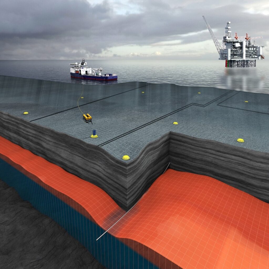
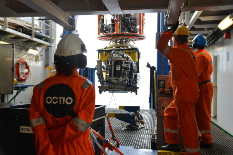
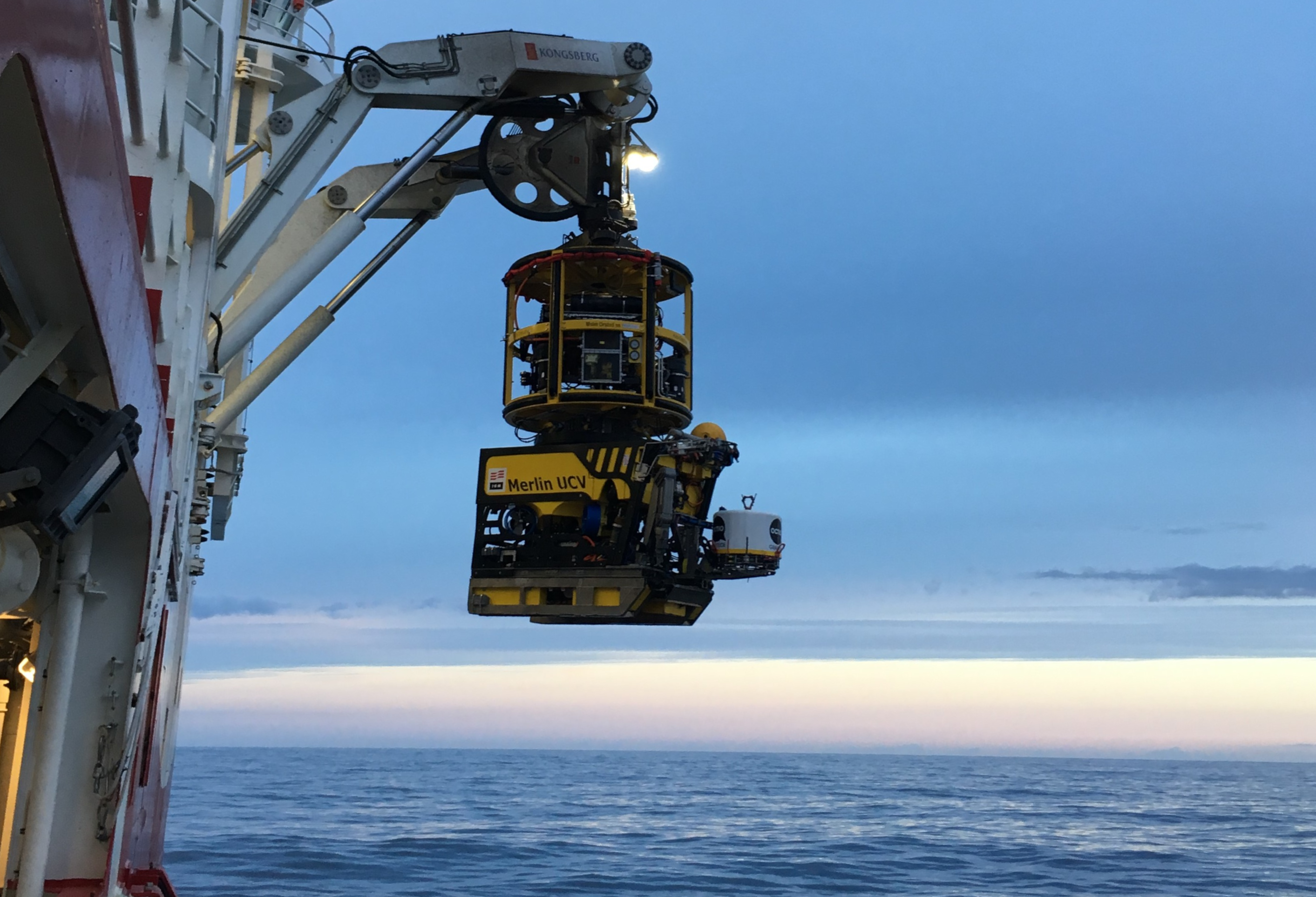
Ormen Lange is the second largest gas field in Norway. Back in 2012, installing compression facilities and drilling infill wells were considered as options to increase gass recovery at the field. Two uncertainties needed to be addressed to decide on the optimal strategy, namely water break-through and compartmentalization. Feasibility studies on a range of monitoring technologies, including seismic and electromagnetic methods, concluded that monitoring 4D gravity and seafloor subsidence would provide the required answers in the most timely manner. Gravity surveys have been performed over Ormen Lange in 2007, 2009, 2012, 2014, 2016, 2018 and 2020. Some of the conclusion of the operator are that gravity and subsidence surveys are key for understanding aquifer influx and reservoir compaction. Gravity provides valuable input to understanding mass changes in the reservoir, with immediate insight into the energy balance of the field. Gravity can be quickly integrated into history matching workflows.